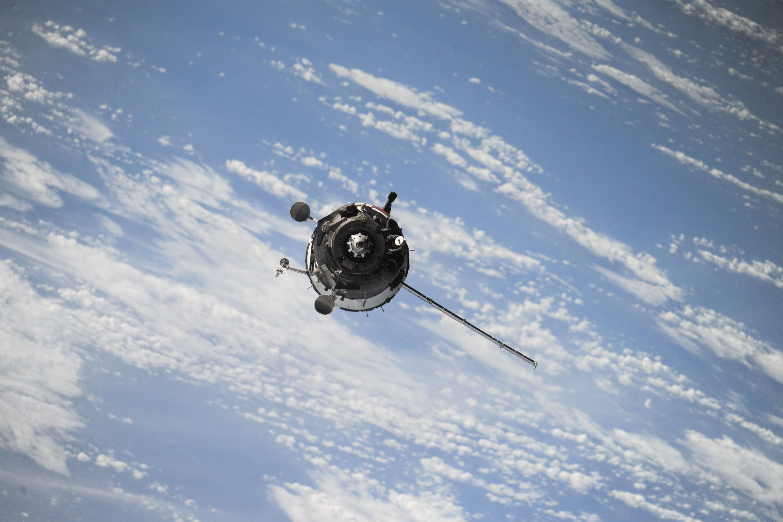
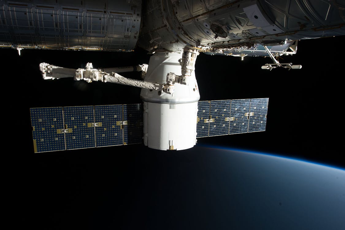
Space exploration and advancing space technology have allowed humans to do amazing things. A satellite cam can take pictures from space and produce data using a variety of heat, light, and motion sensors. Using this data, researchers can learn all sorts of things about our natural world and how it changes over time.
In the history of space technology development, satellite imaging has been one of the key factors for helping us learn about the planet. Photos from space allow researchers to gain a perspective on Earth that could never be achieved otherwise. Using satellite camera images, scientists can study data about vast areas of land and find ecological patterns across continents. As satellite cams grow more sophisticated, they are able to tell us more and more about our changing world.
What is satellite camera?
A satellite camera is a remote sensor device that can create images from electromagnetic wavelengths. Depending on the type of satellite camera, these wavelengths can be generated by things like thermal heat, water vapor, or light. Satellite cameras are attached to satellites and used for orbital space explorations. Usually, the satellites are sent into low Earth orbit and capture images from space as they rotate around the planet.
The constant rotation of satellites allows researchers to capture images and measure data across huge areas. Due to this technology, it is possible to study climate impacts across oceans and huge landmasses. Without this type of space exploration, scientific understanding of the natural world would be extremely limited.
How did satellite cameras develop?
Investigations into aerial photography began in the early 20th century. With the development of both airplane flight and the photographic camera, researchers and scientists were quick to see the potential in these new technologies. Survey planes were an early experiment into large-scale aerial photography. However, during the Cold War (which lasted from the 1950s into the late 1970s), space technology rapidly advanced.
The development of satellite technology and remote sensing technology during the Cold War led to the invention of satellite camera technology. Most early camera satellites were used to monitor weather patterns and advance the field of meteorology. Early weather satellites were developed to observe cloud formations. This allowed meteorologists to learn and predict weather patterns. They could also chart those patterns over a series of months and years and develop a sense of seasonal change and activity.
Early satellites were also mounted with video recording cameras. However, during the 1970s, these were replaced with sensor-based radiometers, which are more similar to modern satellite cams. As space exploration became more prevalent and the technology more available, researchers discovered that having more camera satellites in space would allow them to collect more comprehensive data.
This allowed the complex observation of things like ecosystem changes in real-time. Research like this paved the way for climate science and the modern observation of climate change. As satellite technology has improved, satellite camera resolution and modules have also grown more sophisticated. This leads to a higher quality of images and a higher level of research, and more data is gathered from space on an hourly basis.

What types of satellite cameras are there?
Satellite cameras vary in terms of how they measure wavelengths and convert them into images. For instance, if you’re wondering what does the thermal camera does, the answer will differ from what a spectral camera does. Satellite cameras have also become smaller with time. While a large satellite camera can weigh up to 1000kg, modern micro-cameras can weigh as little as 1kg. Common satellite camera types include the following.
Thermal cameras
Thermal cameras use infrared heat to construct images. This heat is usually generated by plant life or by animals. Thermal cameras, therefore, are useful for research that monitors ecosystems and species movement.
Multi-Spectral Cameras
Multi-spectral cameras capture ultra-violet rays and light reflections to create imprints of objects. This means that multi-spectral cameras are the best satellite cameras for capturing the shape of objects from space. They can create an accurate outline of unseen objects by reflecting light emissions. This is instrumental in discovering objects, buildings, and even archaeological sites which could not otherwise be seen with the naked eye.
Microwave Radiometer Cameras
Microwave radiometer cameras use electromagnetic wavelengths and are often used for measuring humidity and water vapor formations. They are most often used in the field of meteorology. Microwave radiometers are also often used to measure components on the Earth’s surface, such as soil moisture or ice presence.
Space explorations have allowed humans to learn more about the universe and about the Earth itself. Satellite imaging technology is a huge part of this. Using cameras and data gathered from orbital photographs, scientists can learn about our climate and witness any changes as they happen.


